
Jujuhan地形图
点击地图以显示海拔。
关于这张地图
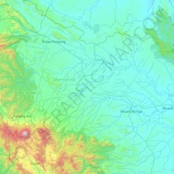
名称:Jujuhan地形图、海拔、地势。
地点:Jujuhan, Jambi, Sumatra, Indonesia (-2.02079 101.06212 -0.62079 102.46212)
平均海拔:361 米
最低海拔:23 米
最高海拔:3,648 米
其他地形图
点击地图以查看其地形、其海拔和其地势。
Jambi
The total land area of Jambi city is 205.38 km2 (79 sq mi). Jambi City is located at the south-western portion of the Sumatran Basin, a low-lying area in Eastern Sumatra with an altitude of 0 to 60m above sea level. A segment of the Batanghari River, the longest river in Sumatra at 1,700 km (1,056 mi), flows…
平均海拔:22 米