
Ardennes地形图
点击地图以显示海拔。
Ardennes
The region the Ardennes are part of has been uplifted further in the last few hundred thousand years by a mantle plume, as measured from the present elevation of old river terraces, with the largest amount of uplift concentrated in the east, where the Ardennes connect with the Eifel, where the same mantle plume is also responsible for volcanic activity.
关于这张地图
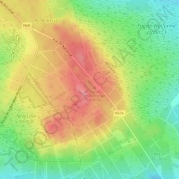
名称:Ardennes地形图、海拔、地势。
平均海拔:659 米
最低海拔:616 米
最高海拔:701 米
其他地形图
点击地图以查看其地形、其海拔和其地势。