点击地图以显示海拔。
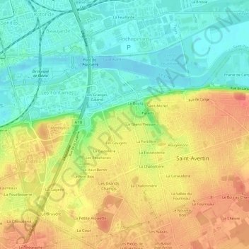
名称:Les Sables地形图、海拔、地势。
地点:Les Sables, Saint-Avertin, Tours, Indre-et-Loire, Centre-Val de Loire, France métropolitaine, 37550, France (47.34312 0.70380 47.38312 0.74380)
平均海拔:71 米
最低海拔:43 米
最高海拔:103 米