
Aubry地形图
点击地图以显示海拔。
关于这张地图
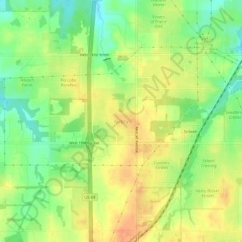
名称:Aubry地形图、海拔、地势。
地点:Aubry, Johnson County, Kansas, 66013, United States (38.75084 -94.69107 38.79084 -94.65107)
平均海拔:325 米
最低海拔:302 米
最高海拔:344 米
其他地形图
点击地图以查看其地形、其海拔和其地势。
Spring Hill
United States > Kansas > Johnson County
In 1856, James B. Hovey named the community after a town near Mobile, Alabama. "Being somewhat enthusiastic in my estimation of its future, it having all advantages of timber and water, and on a line that must be traveled between Olathe and Paola, I concluded to myself, as there was no one else to conclude…
平均海拔:317 米