
Touws River地形图
点击地图以显示海拔。
Touws River
Touws River is located at an elevation of 770 metres (2,530 ft) on the southwestern edge of the Great Karoo, east of the Hex River Mountains and north of the Langeberg, at the point where the Donkeys River flows into the Touws River. It lies just to the south of the N1 highway, 180 kilometres (110 mi) by road from Cape Town. The railway line passes through the town, with the yards and depot being located just to the north-east; by rail it is 257 kilometres (160 mi) from Cape Town.
关于这张地图
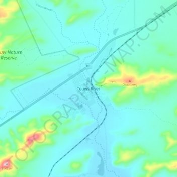
名称:Touws River地形图、海拔、地势。
平均海拔:822 米
最低海拔:760 米
最高海拔:1,144 米
其他地形图
点击地图以查看其地形、其海拔和其地势。