点击地图以显示海拔。
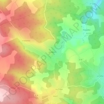
名称:Le Villeret地形图、海拔、地势。
地点:Le Villeret, Saint-Jean-la-Fouillouse, Mende, Lozère, Occitanie, France métropolitaine, 48170, France (44.70067 3.67181 44.74067 3.71181)
平均海拔:1,219 米
最低海拔:1,088 米
最高海拔:1,344 米