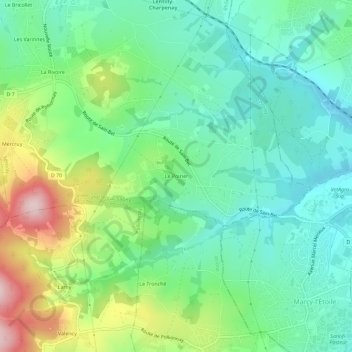
点击地图以显示海拔。
名称:Le Poirier地形图、海拔、地势。
地点:Le Poirier, Lentilly, Villefranche-sur-Saône, Rhône, Auvergne-Rhône-Alpes, France métropolitaine, 69210, France (45.77587 4.66457 45.81587 4.70457)
平均海拔:357 米
最低海拔:269 米
最高海拔:555 米