Foster地形图
点击地图以显示海拔。
关于这张地图
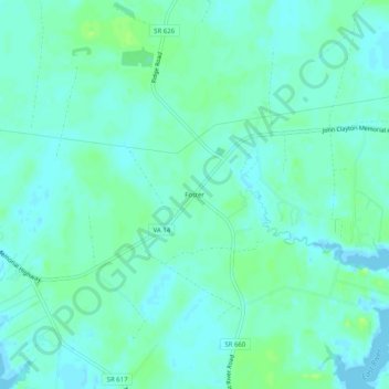
名称:Foster地形图、海拔、地势。
地点:Foster, Mathews County, Virginia, 23056, United States (37.43291 -76.40495 37.47291 -76.36495)
平均海拔:5 米
最低海拔:-5 米
最高海拔:13 米
其他地形图
点击地图以查看其地形、其海拔和其地势。

点击地图以显示海拔。
名称:Foster地形图、海拔、地势。
地点:Foster, Mathews County, Virginia, 23056, United States (37.43291 -76.40495 37.47291 -76.36495)
平均海拔:5 米
最低海拔:-5 米
最高海拔:13 米
点击地图以查看其地形、其海拔和其地势。