点击地图以显示海拔。
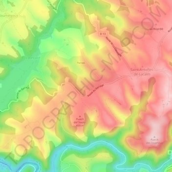
名称:Le Garrou地形图、海拔、地势。
地点:Le Garrou, Saint-Antonin-de-Lacalm, Terre-de-Bancalié, Albi, Tarn, Occitanie, France métropolitaine, 81120, France (43.76367 2.26861 43.80367 2.30861)
平均海拔:376 米
最低海拔:235 米
最高海拔:481 米