点击地图以显示海拔。
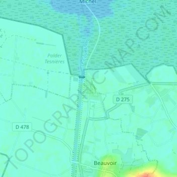
名称:La Caserne地形图、海拔、地势。
地点:La Caserne, Ardevon, Pontorson, Avranches, Manche, Normandie, France métropolitaine, 50170, France (48.59485 -1.53005 48.63485 -1.49005)
平均海拔:6 米
最低海拔:0 米
最高海拔:36 米
点击地图以查看其地形、其海拔和其地势。
France > Normandie > Manche > Pontorson
平均海拔:19 米
平均海拔:43 米