
Weyers Cave地形图
点击地图以显示海拔。
关于这张地图
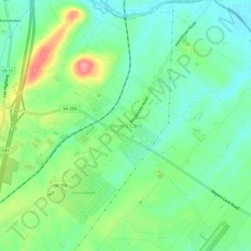
名称:Weyers Cave地形图、海拔、地势。
地点:Weyers Cave, Augusta County, Virginia, 24486, United States (38.26617 -78.93090 38.30617 -78.89090)
平均海拔:361 米
最低海拔:328 米
最高海拔:427 米
其他地形图
点击地图以查看其地形、其海拔和其地势。
Stuarts Draft
United States > Virginia > Augusta County
Stuarts Draft includes several natural and man-made ponds. Lake Wilda is Green Pond is a naturally occurring high-elevation pond on the Big Levels Ridge. It is five acres in size during the wet season. The Virginia Commission of Game and Inland Fisheries constructed the Maple Flats Ponds in the late 1950s to…
平均海拔:457 米