
Harris地形图
点击地图以显示海拔。
关于这张地图
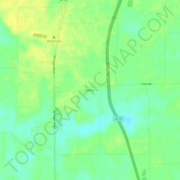
名称:Harris地形图、海拔、地势。
地点:Harris, Marshall County, Indiana, 46537, United States (41.39477 -86.32362 41.43477 -86.28362)
平均海拔:255 米
最低海拔:244 米
最高海拔:266 米
其他地形图
点击地图以查看其地形、其海拔和其地势。
Bremen
United States > Indiana > Marshall County
Bremen is located in northeastern Marshall County at 41°26′50″N 86°08′58″W / 41.447109°N 86.149342°W / 41.447109; -86.149342. It is at an elevation of 854 feet (260 m).
平均海拔:252 米