点击地图以显示海拔。
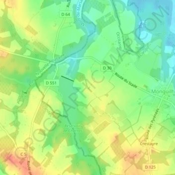
名称:Guirette地形图、海拔、地势。
地点:Guirette, Monguilhem, Condom, Gers, Occitanie, France métropolitaine, 32240, France (43.84664 -0.20720 43.86664 -0.18720)
平均海拔:91 米
最低海拔:69 米
最高海拔:114 米