
Khardung La地形图
点击地图以显示海拔。
Khardung La
The elevation of Khardung La is 5,359 m (17,582 ft). Local summit signs and dozens of stores selling shirts in Leh incorrectly claim that its elevation is in the vicinity of 5,602 m (18,379 ft)} and that it is the world's highest motorable pass. But in 2013-2014, Chisumle-Demchok Road via Umling La (19,300 ft), which is one of the India-China Border Roads built as a part of Project Himank by BRO, surpassed Khardung La in elevation to become the world's highest motorable pass.
关于这张地图
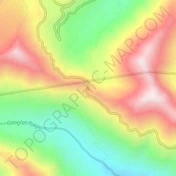
名称:Khardung La地形图、海拔、地势。
地点:Khardung La, Leh Tehsil, Leh, Ladakh, India (34.27861 77.60464 34.27871 77.60474)
平均海拔:5,235 米
最低海拔:4,865 米
最高海拔:5,628 米
其他地形图
点击地图以查看其地形、其海拔和其地势。