
Capitol Hill地形图
点击地图以显示海拔。
关于这张地图
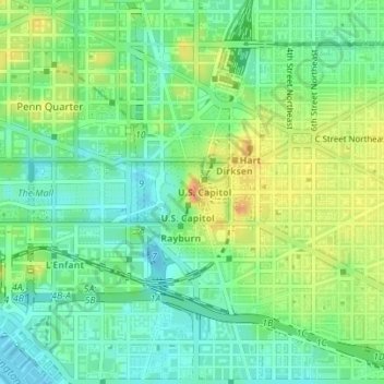
名称:Capitol Hill地形图、海拔、地势。
平均海拔:18 米
最低海拔:-3 米
最高海拔:44 米
其他地形图
点击地图以查看其地形、其海拔和其地势。
Buzzard Point
United States > District of Columbia > Washington
The United States Geological Survey's (USGS) most recent topographic maps identify the tip of the peninsula that contains Fort McNair as "Greenleaf Point". The USGS maps also identify a lesser point to the northeast of Greenleaf Point as "Buzzard Point". (James Creek, which was excavated during the 19th…
平均海拔:6 米