点击地图以显示海拔。
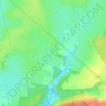
名称:La Gouverne地形图、海拔、地势。
地点:La Gouverne, Villegusien-le-Lac, Langres, Haute-Marne, Grand Est, France métropolitaine, 52190, France (47.72208 5.34480 47.74208 5.36480)
平均海拔:320 米
最低海拔:296 米
最高海拔:365 米
点击地图以查看其地形、其海拔和其地势。
France > Grand Est > Haute-Marne > Villegusien-le-Lac
平均海拔:335 米
平均海拔:343 米