
Belle River地形图
点击地图以显示海拔。
关于这张地图
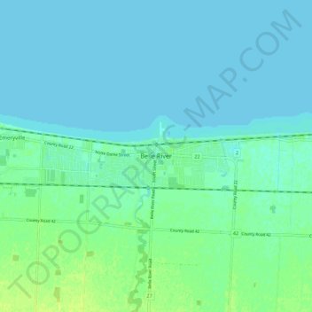
名称:Belle River地形图、海拔、地势。
平均海拔:177 米
最低海拔:173 米
最高海拔:186 米
其他地形图
点击地图以查看其地形、其海拔和其地势。
Lakeshore
Canada > Ontario > Essex County
As in the rest of Essex County and Chatham-Kent, the terrain is extremely flat and regular. The terrain slopes very gently from the southern border of Lakeshore on Highway 8, with an average elevation of 188 m (617 ft), to the shore of Lake St. Clair at 176 m (577 ft). The highest land is in the southwestern…
平均海拔:183 米