点击地图以显示海拔。
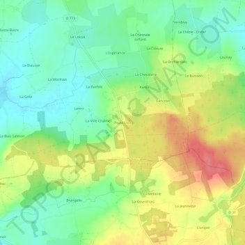
名称:Point-Clos地形图、海拔、地势。
地点:Point-Clos, Gaël, Rennes, Ille-et-Vilaine, Bretagne, France métropolitaine, 35290, France (48.06706 -2.21785 48.10706 -2.17785)
平均海拔:96 米
最低海拔:65 米
最高海拔:139 米