
Dorr地形图
点击地图以显示海拔。
关于这张地图
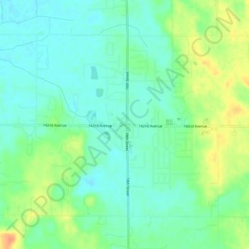
名称:Dorr地形图、海拔、地势。
平均海拔:219 米
最低海拔:205 米
最高海拔:246 米
其他地形图
点击地图以查看其地形、其海拔和其地势。
Trowbridge Township
United States > Michigan > Allegan County
Merson is an unincorporated community in the township at the junction of M-40 and 102 Avenue (42°26′05″N 85°51′58″W / 42.43472°N 85.86611°W / 42.43472; -85.86611 Elevation: 761 ft./232 m.).
平均海拔:225 米