点击地图以显示海拔。
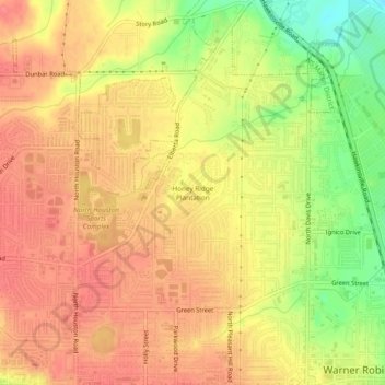
名称:Honey Ridge Plantation地形图、海拔、地势。
地点:Honey Ridge Plantation, Warner Robins, Houston County, Georgia, 31098, United States (32.61848 -83.64713 32.65848 -83.60713)
平均海拔:115 米
最低海拔:71 米
最高海拔:137 米