点击地图以显示海拔。
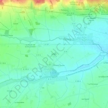
名称:Le Barc地形图、海拔、地势。
地点:Le Barc, Unverre, Châteaudun, Eure-et-Loir, Centre-Val de Loire, France métropolitaine, 28160, France (48.18489 1.07619 48.22489 1.11619)
平均海拔:172 米
最低海拔:154 米
最高海拔:220 米
点击地图以查看其地形、其海拔和其地势。
France > Centre-Val de Loire > Eure-et-Loir > Unverre
平均海拔:186 米