点击地图以显示海拔。
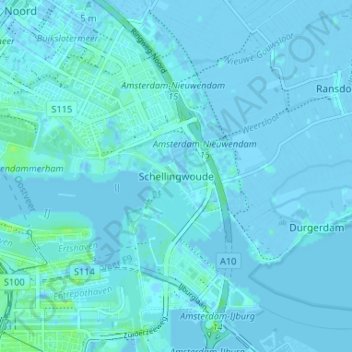
名称:Schellingwoude地形图、海拔、地势。
地点:Schellingwoude, Amsterdam, North Holland, Netherlands, 1023 NH, Netherlands (52.36374 4.94432 52.40374 4.98432)
平均海拔:1 米
最低海拔:-4 米
最高海拔:9 米
点击地图以查看其地形、其海拔和其地势。
Netherlands > North Holland > Amsterdam
平均海拔:2 米
平均海拔:6 米
平均海拔:7 米
平均海拔:3 米
Netherlands > North Holland > Amsterdam > Schellingwoude