点击地图以显示海拔。
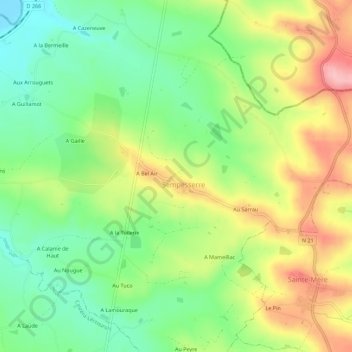
名称:A Lamothe地形图、海拔、地势。
地点:A Lamothe, Sempesserre, Condom, Gers, Occitanie, France métropolitaine, 32700, France (43.99697 0.62732 44.03697 0.66732)
平均海拔:125 米
最低海拔:61 米
最高海拔:212 米