
Hillary Step地形图
点击地图以显示海拔。
Hillary Step
The step was named after Sir Edmund Hillary, who partnered with Sherpa Tenzing Norgay, on 29 May 1953 climbing the crack between the snow and the rock, earning the feature its name. Upon completion of the summit, the pair reported the snowpack on Hillary is harder than that of lower elevation.
关于这张地图
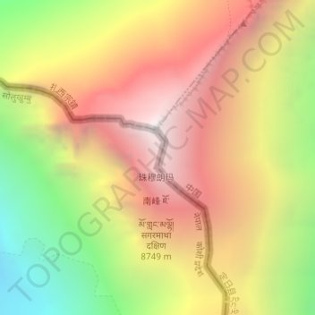
名称:Hillary Step地形图、海拔、地势。
平均海拔:7,824 米
最低海拔:6,597 米
最高海拔:8,849 米
其他地形图
点击地图以查看其地形、其海拔和其地势。