
Ireland地形图
点击地图以显示海拔。
关于这张地图
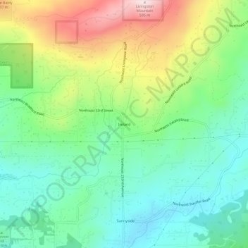
名称:Ireland地形图、海拔、地势。
平均海拔:265 米
最低海拔:98 米
最高海拔:593 米
其他地形图
点击地图以查看其地形、其海拔和其地势。
Lake River
United States > Washington > Clark County > Ridgefield
Lake River, a "slow, flat slough of the Columbia River", loses only 1 foot (30 cm) in elevation over its entire 11-mile (18 km) course. It flows north, roughly parallel to the Columbia until curving slightly northwest to join it. At times, tidal fluctuations and high flows along the Columbia cause Lake River…
平均海拔:35 米