
Budaka地形图
点击地图以显示海拔。
Budaka
Budaka is approximately 29 kilometres (18 mi) west of Mbale, the largest city in Uganda's Eastern Region, along the Iganga–Tirinyi–Kamonkoli–Mbale Road. It is approximately 225 kilometres (140 mi) north-east of Kampala, the capital and largest city of Uganda. The coordinates of the town are:01 01 00N, 33 56 42E (Latitude:1.0150; Longitude:33.9450). Budaka Town is situated at an average elevation of 1,160 metres (3,806 ft) above mean sea level.
关于这张地图
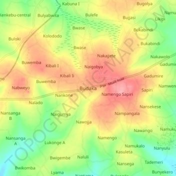
名称:Budaka地形图、海拔、地势。
地点:Budaka, Eastern Region, Uganda (0.97584 33.90907 1.05584 33.98907)
平均海拔:1,117 米
最低海拔:1,067 米
最高海拔:1,167 米