
East Balabag地形图
点击地图以显示海拔。
关于这张地图
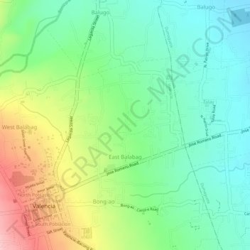
名称:East Balabag地形图、海拔、地势。
平均海拔:141 米
最低海拔:71 米
最高海拔:255 米
其他地形图
点击地图以查看其地形、其海拔和其地势。
Valencia
Philippines > Negros Oriental > Valencia
Valencia occupies an area of 14,749 hectares (36,450 acres), 35% of which are classified as plains. The town is 65% mountainous, with elevation averaging from 200 to 500 metres (660 to 1,640 ft) above sea level, with the top of Mount Talinis at an elevation of 1,903 metres (6,243 ft) along the municipal…
平均海拔:250 米