
Beechy地形图
点击地图以显示海拔。
关于这张地图
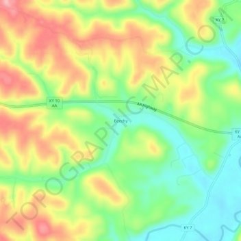
名称:Beechy地形图、海拔、地势。
地点:Beechy, Greenup County, Kentucky, United States (38.60452 -82.97406 38.64452 -82.93406)
平均海拔:230 米
最低海拔:161 米
最高海拔:315 米
其他地形图
点击地图以查看其地形、其海拔和其地势。
Flatwoods
United States > Kentucky > Greenup County
The area now known as Flatwoods was originally named "Advance": Advance Methodist Church formed a Sunday school beginning in 1860. The name was later changed to "Cheap", after John Cheap, a blind clergyman. The original farming community returned to the name of "Advance" when a post office was established in…
平均海拔:194 米
Bellefonte
United States > Kentucky > Greenup County
The city is located on a one-mile wide belt of relatively flat land that is approximately 100 feet higher in elevation than the nearby Ohio River valley. The unusual topography which is easily noticeable on topographical maps and aerial satellite imagery was created by the ancient Teays River. Larger than the…
平均海拔:188 米