
Ardennes地形图
点击地图以显示海拔。
Ardennes
The region was uplifted by a mantle plume during the last few hundred thousand years, as measured from the present elevation of old river terraces.
关于这张地图
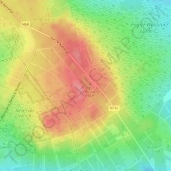
名称:Ardennes地形图、海拔、地势。
平均海拔:659 米
最低海拔:616 米
最高海拔:701 米
其他地形图
点击地图以查看其地形、其海拔和其地势。