
Black Jack Mountain地形图
点击地图以显示海拔。
关于这张地图
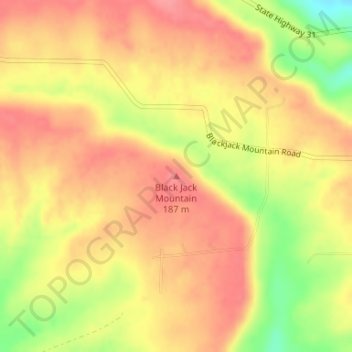
名称:Black Jack Mountain地形图、海拔、地势。
平均海拔:160 米
最低海拔:108 米
最高海拔:186 米
其他地形图
点击地图以查看其地形、其海拔和其地势。
Beebe
United States > Arkansas > White County
Beebe made international news in early January 2011 following the death of more than 3,000 red-winged blackbirds and European starlings over the community. Arkansas state wildlife authorities first received reports on December 31, 2010, shortly before midnight. Further investigation revealed the birds fell…
平均海拔:71 米