点击地图以显示海拔。
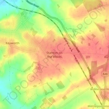
名称:Stanton on the Wolds地形图、海拔、地势。
地点:Stanton on the Wolds, Rushcliffe, Nottinghamshire, East Midlands, England, NG12 5BL, United Kingdom (52.84840 -1.08254 52.88840 -1.04254)
平均海拔:78 米
最低海拔:44 米
最高海拔:100 米