点击地图以显示海拔。
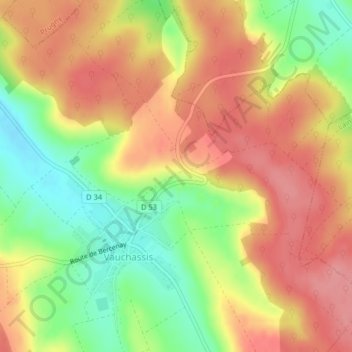
名称:Route de Troyes地形图、海拔、地势。
地点:Route de Troyes, L'Ancien Moulin, Vauchassis, Troyes, Aube, Grand Est, France métropolitaine, 10190, France (48.21726 3.91969 48.23726 3.93969)
平均海拔:231 米
最低海拔:176 米
最高海拔:272 米