点击地图以显示海拔。
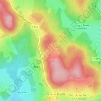
名称:Plat Mont地形图、海拔、地势。
地点:Plat Mont, Roche, Montsauche-les-Settons, Château-Chinon (Ville), Nièvre, Bourgogne-Franche-Comté, France métropolitaine, 58230, France (47.21702 4.00353 47.23702 4.02353)
平均海拔:567 米
最低海拔:481 米
最高海拔:657 米