
Gibson Desert地形图
点击地图以显示海拔。
Gibson Desert
The Gibson Desert is located between the saline Kumpupintil Lake and Lake Macdonald along the Tropic of Capricorn, south of the Great Sandy Desert, east of the Little Sandy Desert, and north of the Great Victoria Desert. The altitude rises to just above 500 metres (1,600 ft) in places. As noted by early Australian explorers such as Ernest Giles large portions of the desert are characterized by gravel-covered terrains covered in thin desert grasses and it also contains extensive areas of undulating red sand plains and dunefields, low rocky/gravelly ridges and substantial upland portions with a high degree of laterite formation. The sandy soil of the lateritic buckshot plains is rich in iron. Several isolated salt-water lakes occur in the centre of the region and to the southwest a system of small lakes follow paleo-drainage features. Groundwater sources include portions of the Officer Basin and Canning Basin.
关于这张地图
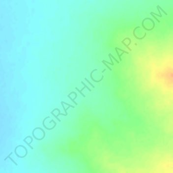
名称:Gibson Desert地形图、海拔、地势。
平均海拔:464 米
最低海拔:452 米
最高海拔:486 米
其他地形图
点击地图以查看其地形、其海拔和其地势。
Tom Price
Tom Price is the closest town to Karijini National Park and is serviced by the nearby Paraburdoo Airport. Due to its elevation (747 m (2,451 ft)), temperatures are lowered and rainfall is intensified, resulting in the town possessing a subtropical semi-arid climate (Köppen: BSh). Summers are very hot with…
平均海拔:791 米