点击地图以显示海拔。
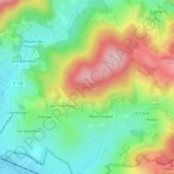
名称:Le Beuillet地形图、海拔、地势。
地点:Le Beuillet, Mont-Fenaud, Broye, Autun, Saône-et-Loire, Bourgogne-Franche-Comté, France métropolitaine, 71190, France (46.86357 4.30404 46.88357 4.32404)
平均海拔:378 米
最低海拔:289 米
最高海拔:513 米