点击地图以显示海拔。
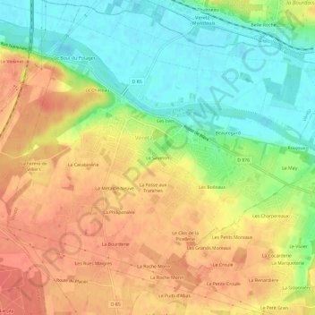
名称:Le Saveton地形图、海拔、地势。
地点:Le Saveton, Véretz, Tours, Indre-et-Loire, Centre-Val de Loire, France métropolitaine, 37270, France (47.33299 0.79146 47.37299 0.83146)
平均海拔:74 米
最低海拔:46 米
最高海拔:98 米