
Aur Island地形图
点击地图以显示海拔。
Aur Island
The west coast of Aur Island is influenced by the southwest monsoon that blows the wind from the Straits of Malacca during the months of May to September. The periods between the monsoons are usually marked by heavy rainfall. The mountains have lower temperature range due to their higher altitude and the temperature ranges from 16 to 24 °C (61 to 75 °F).
关于这张地图
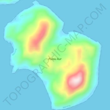
名称:Aur Island地形图、海拔、地势。
地点:Aur Island, Mersing, Johor, Malaysia (2.42553 104.49947 2.47255 104.54151)
平均海拔:93 米
最低海拔:-2 米
最高海拔:500 米
其他地形图
点击地图以查看其地形、其海拔和其地势。