
Parton地形图
点击地图以显示海拔。
关于这张地图
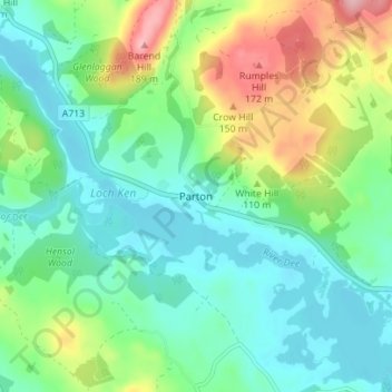
名称:Parton地形图、海拔、地势。
平均海拔:85 米
最低海拔:41 米
最高海拔:190 米
其他地形图
点击地图以查看其地形、其海拔和其地势。
Rhinns of Kellsc
United Kingdom > Scotland > Dumfries and Galloway
'Rhinns' derives from the Old Irish rind, later Ulster Irish and Scottish Gaelic rinn, meaning 'promontory' or 'point'. 'Kells' is a parish in the historic county of Stewartry of Kirkcudbright to the southeast of the range near New Galloway. Its name possibly derives from the Old Irish cell, later Irish and…
平均海拔:352 米