点击地图以显示海拔。
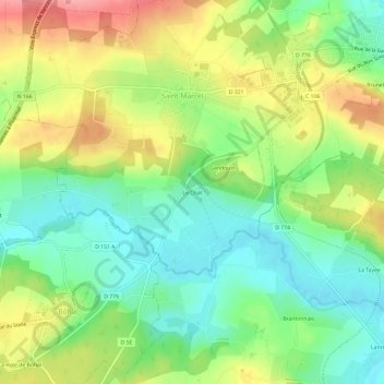
名称:Le Chat地形图、海拔、地势。
地点:Le Chat, Saint-Marcel, Vannes, Morbihan, Bretagne, France métropolitaine, 56140, France (47.77334 -2.43842 47.81334 -2.39842)
平均海拔:55 米
最低海拔:12 米
最高海拔:116 米