点击地图以显示海拔。
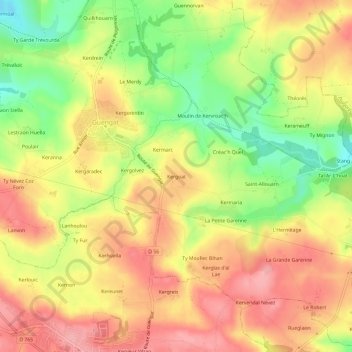
名称:Kergoat地形图、海拔、地势。
地点:Kergoat, Guengat, Quimper, Finistère, Bretagne, France métropolitaine, 29180, France (48.01636 -4.21299 48.05636 -4.17299)
平均海拔:110 米
最低海拔:44 米
最高海拔:158 米