
Lumding地形图
点击地图以显示海拔。
Lumding
Hills of Lumding put the town a notable altitude above the sea level, but summer temperatures can reach up to 40 °C and the winters can be as chilling as 4-5 °C with fog and mist intervening in the early hours of the day. Monsoon is a notable season here, with rainfall around 60–125mm at an average. But its hills and altitude prevents any flooding in the region during heavy monsoon.
关于这张地图
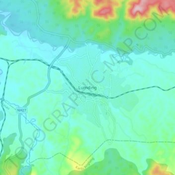
名称:Lumding地形图、海拔、地势。
地点:Lumding, Lanka, Hojai, Assam, 782447, India (25.71354 93.13317 25.79354 93.21317)
平均海拔:159 米
最低海拔:109 米
最高海拔:388 米