点击地图以显示海拔。
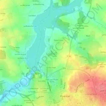
名称:La Touche地形图、海拔、地势。
地点:La Touche, Ploërmel, Pontivy, Morbihan, Bretagne, France métropolitaine, 56800, France (47.92866 -2.42489 47.96866 -2.38489)
平均海拔:57 米
最低海拔:24 米
最高海拔:106 米
点击地图以查看其地形、其海拔和其地势。
France > Bretagne > Morbihan > Ploërmel
平均海拔:53 米