点击地图以显示海拔。
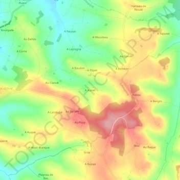
名称:A Auriet地形图、海拔、地势。
地点:A Auriet, Gazaupouy, Condom, Gers, Occitanie, France métropolitaine, 32480, France (43.98814 0.45825 44.02814 0.49825)
平均海拔:160 米
最低海拔:99 米
最高海拔:223 米