点击地图以显示海拔。
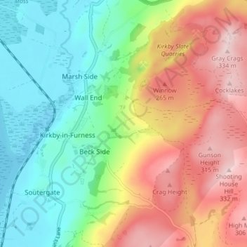
名称:Friars Ground地形图、海拔、地势。
地点:Friars Ground, Beck Side, Kirkby Ireleth, Westmorland and Furness, England, LA17 7YB, United Kingdom (54.21385 -3.18595 54.25385 -3.14595)
平均海拔:139 米
最低海拔:-1 米
最高海拔:337 米