点击地图以显示海拔。
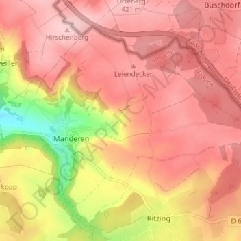
名称:Tunting地形图、海拔、地势。
地点:Tunting, Manderen, Manderen-Ritzing, Thionville, Moselle, Grand Est, France métropolitaine, 57480, France (49.43266 6.43055 49.47266 6.47055)
平均海拔:360 米
最低海拔:218 米
最高海拔:428 米
点击地图以查看其地形、其海拔和其地势。
France > Grand Est > Moselle > Manderen-Ritzing
平均海拔:347 米
平均海拔:359 米