
Hiriyur地形图
点击地图以显示海拔。
Hiriyur
Hiriyur is located at 13°57′N 76°37′E / 13.95°N 76.62°E / 13.95; 76.62. It has an average elevation of 630 metres (2066 feet). The months of March and April are the hottest months of the year.
关于这张地图
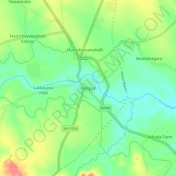
名称:Hiriyur地形图、海拔、地势。
平均海拔:613 米
最低海拔:585 米
最高海拔:668 米