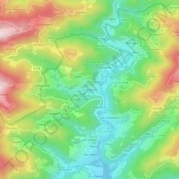
点击地图以显示海拔。
名称:La Gageyre地形图、海拔、地势。
地点:La Gageyre, Labatie-d'Andaure, Tournon-sur-Rhône, Ardèche, Auvergne-Rhône-Alpes, France métropolitaine, 07570, France (45.01443 4.46992 45.05443 4.50992)
平均海拔:675 米
最低海拔:472 米
最高海拔:983 米