点击地图以显示海拔。
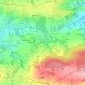
名称:Kerneyet地形图、海拔、地势。
地点:Kerneyet, Argol, Châteaulin, Finistère, Bretagne, France métropolitaine, 29560, France (48.22410 -4.33074 48.26410 -4.29074)
平均海拔:94 米
最低海拔:23 米
最高海拔:181 米