点击地图以显示海拔。
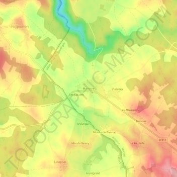
名称:Marroule地形图、海拔、地势。
地点:Marroule, Martiel, Villefranche-de-Rouergue, Aveyron, Occitanie, France métropolitaine, 12200, France (44.37366 1.86136 44.41366 1.90136)
平均海拔:349 米
最低海拔:271 米
最高海拔:405 米