
Solon地形图
点击地图以显示海拔。
关于这张地图
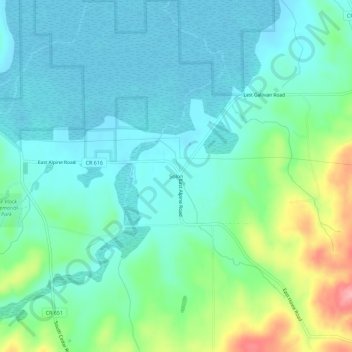
名称:Solon地形图、海拔、地势。
平均海拔:209 米
最低海拔:180 米
最高海拔:302 米
其他地形图
点击地图以查看其地形、其海拔和其地势。
South Fox Island
United States > Michigan > Leelanau County
North Fox Island has an operational public 3,001-foot-long by 100-foot-wide (914m x 30m) grass airstrip as of August 2023, making it accessible by general aviation. Runway 7 has a displaced threshold of 804 ft. and Runway 25 has a displaced threshold of 999 ft. Both runways have trees at their ends ranging…
平均海拔:185 米